
Farm Plan requirements – further information call 0468377999 …………………………………………………………WANT TO LIVE ON A FARM OR RURAL LAND ?
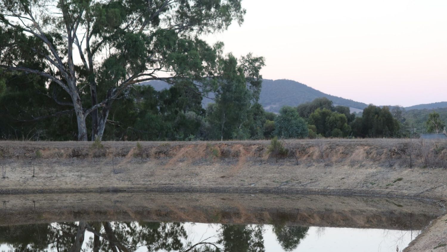
We do it all, permits, plans, roads and dams , develop ! Topography: (landscape, geography) identify on an aerial photograph/site map of your property, main contours ridgelines or steep rises indicated by e.g. crosses, shading, or colour, site plans, bush fire BMO plans,sub divide, build sheds and homes.
Soil Capability: Identify any active and erosion prone areas, salinity, slope suitability (steep slopes may require more extensive construction and excavation works to prevent erosion). List / outline current management e.g. mitigation works, maintaining ground cover, fencing out gullies or creeks from stock; and if the proposed development is likely to impact the land (minor or major), describe how this will be managed , LCA, soil test, civil works, septic systems for all areas !
Native Vegetation: Identify and describe all native vegetation present on the property (native vegetation means plants that are indigenous to Victoria, including trees, shrubs, herbs and grasses). Provide current Ecological Vegetation Classes (EVC) – this can be found using the Biodiversity Interactive Map. Identify if there is any vegetation to be affected by the proposed development.
Planning permit triggers for native vegetation removal
Clause 52.17 of your local planning scheme sets out the planning provisions relating to native vegetation removal. As a guide, these are summarised below (check with your council).
We do Applications to demonstrate the adoption of the three step net gain approach: (i) Avoid, (ii) Minimise, and (iii) Off-set. Where applicable, you will need to quantify the losses and gains, consistent with the State Government’s Net Gain framework and policy. Proposed off-sets must be agreed upon by council prior to any works commencing. Where applicable, develop an appropriate list and quantities of indigenous plant species intended for rural landscaping and revegetation on the property.
Pest Plant & Animal: Identify and list pest plants (weeds) located on the property (may include pasture, noxious, production and invasive weeds) and identify approximate percentage cover of weeds.
Identify and list pest animals within the property (may include wild dogs, rabbits and foxes).
Document the present and proposed (on-going) methods and timing of pest plant and animal controls.
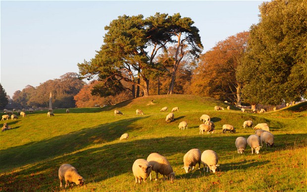
Proposed Land Use: Describe the future use of the land, e.g. type and quantity of stock, type of agricultural production, conservation, and any associated activities such as fencing etc., that may need to be constructed as a result of the development.
FARM MANAGEMENT PLANS & business data regarding the viability of the proposed agricultural land use to satisfy your council.